Golden Hour Length by Latitude
Low-angle light lasts longer the farther you are from the equator, and public sun tables let you map its exact start, end and direction for any date.
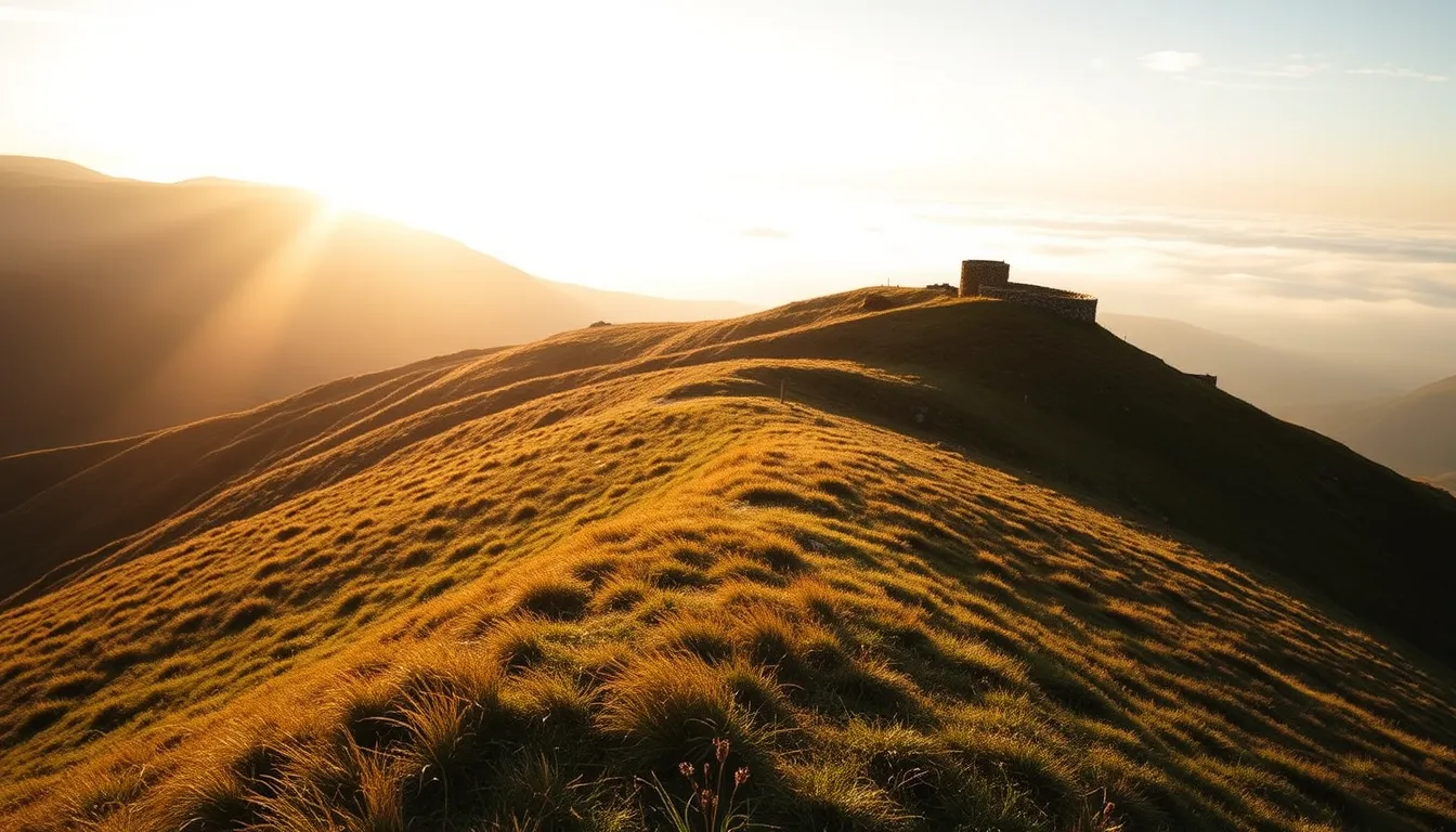
Golden hour has no fixed length. It lasts as long as the sun needs to cross a band of low heights above the horizon, and that duration depends on your latitude and the date. A public solar calculator shows the sun's position through the day for your exact spot, which lets you build the window yourself instead of relying on a rule of thumb.
How long does the warm light last where I live?
It lasts as long as the sun stays low enough to produce warm, directional light, and that varies from place to place and week to week. Near the equator the sun drops almost straight down, so the window is brief. At higher latitudes the sun slides toward the horizon at a shallow angle, and the same band of low heights takes much longer to cross.
The practical answer is local. Pick your location and date in a solar calculator, read the sun's height through the morning and evening, and mark the stretch where it sits low. That stretch is your personal golden hour, and it will change as the calendar moves.
What is golden hour in terms of the sun's height?
It is the period when the sun is a modest distance above the horizon, with no official start or end. Astronomers define sunrise, sunset and the twilight stages precisely, but "golden hour" is a photographers' label for the time when light turns warm, soft and sideways.
The sun's height above the horizon, often called altitude or elevation, is the useful measure. Low sun stretches shadows and rakes light across surfaces, which is why texture and relief show so well. Many photographers treat a band of low altitude as the working window and adjust it to taste.
Why does the light last longer far from the equator?
Near the equator the path is nearly vertical at sunrise and sunset, so the sun passes through the low band quickly.
The effect grows with the seasons. In high-latitude summer the sun may barely dip below the horizon, so low, warm light can fill a large part of the night. In deep winter the sun stays low all day.
How do the seasons change the length and direction of the light?
Look up both the duration of low light and the compass bearing of sunrise and sunset for your exact shooting date, rather than assuming they match another time of year.
That shift matters for composition. A valley, a façade or a skyline that faces the sunset in one season can sit in shadow in another. Check the sun's bearing for your shooting date rather than reusing a note from another time of year.
How do I plan the exact window with a public calculator or table?
Use a solar calculator or an almanac table for your place and date, then work outward from sunrise or sunset. Official observatories and national meteorological or navigation services publish this data, so check their pages for the tools they offer and how they define each entry.
- Enter your location by place name or coordinates, and confirm the time zone and any daylight-saving setting.
- Choose the shooting date, not today's date, since values shift daily.
- Note sunrise, sunset, and the start and end of civil twilight.
- Check the sun's height through the morning or evening if the tool provides it, and mark when it is low.
- Note the compass bearing of the sun at sunrise and sunset so you can plan where to stand and what to face.
- Compare the result with the real horizon at your site, since hills and buildings change what you actually see.
Whichever tool you use, read its notes on how it defines sunrise and which atmospheric assumptions it makes.
Because no single page covers everything, cross at least two sources and write down which database each figure came from and when it was published or updated. The worksheet below works with any provider.
| Source to consult | Database or provider (write it down) | Date to record | What to take from it |
|---|---|---|---|
| Solar calculator for your exact spot | Name of the tool and the coordinates you entered | Shooting date, plus the date you ran the query | Sun height through the session, bearing at sunrise and sunset |
| Almanac or sun table from an observatory or national service | Name of the institution and the table title | Shooting date, plus the edition or update date of the table | Sunrise, sunset, civil twilight start and end |
| Cloud and visibility forecast from your national weather service | Name of the service and the forecast product | Date and time of the forecast issue | Cloud cover near the horizon, haze, a backup plan |
| Map or site visit | Map layer or your own scouting notes | Date of the visit | Obstacles in the direction of the sun, viewpoint, access |
If two sources disagree on a time, keep both entries, read each provider's definition of sunrise, and arrive early enough to cover the difference.
What can I learn by crossing two related sources?
Each pair below answers a question that neither source answers alone. Whichever provider you choose, record its database name and the date of its data or forecast next to every figure you copy.
| Pair of sources | What to compare | Database and date to note | What a gap tells you |
|---|---|---|---|
| Solar calculator + almanac table | Sunset time in the almanac against the moment the calculator shows the sun reaching the horizon | Tool name and query date; table title and edition date | The two providers define sunrise or sunset differently, or use different atmospheric assumptions |
| Almanac civil twilight + calculator sun height | The almanac's twilight start or end against the sun height the calculator gives at that moment | Table edition date; query date and coordinates | How your tool's height scale lines up with the almanac's phases, so you can place your own low-sun band |
| Calculator bearing + map or site visit | The sun's compass bearing at sunrise or sunset against the landmarks and obstacles in that direction | Query date and coordinates; map layer or scouting date | Whether a ridge, building or tree line will end direct light before the calculated time |
| Almanac sunset + weather service forecast | The table's sunset against the forecast cloud and haze near the horizon | Table edition date; forecast issue date and time | Whether to plan for direct light, glowing clouds or a softer, veiled sky |
Because the logic holds for any provider, the same table works whether you use a national observatory, a navigation service or a free web tool.
What separates golden hour, blue hour and civil twilight?
They describe different moments around the horizon. The table below compares them in evening order, based on the conventional definitions used in public almanac tables, where each phase depends on the sun's position relative to the horizon.
| Phase | Sun position | What the light looks like | Where to find it |
|---|---|---|---|
| Golden hour | Low above the horizon | Warm, directional, long shadows | Not a standard table entry; infer it from the sun's height |
| Sunset | Sun at the horizon, as the table's own notes define it | Strong color near the sun, flat light elsewhere | Listed in sunrise and sunset tables |
| Civil twilight | Sun just below the horizon | Bright sky, clear outlines, soft shadows | Listed as its own start and end |
| Blue hour | Sun below the horizon, around civil twilight | Cool, even blue sky, little contrast | Informal term; no single official definition |
In the morning the order reverses. Civil twilight begins first, then sunrise, then the warm light. If a source gives a precise length for blue hour, check how it defines the phase, since photographers and observers use the term loosely.
How do hills, valleys and coastlines shorten or stretch the light?
They change when the sun disappears from your view, not when it sets in the tables. Note any ridge, building or tree line in the direction of the sun, since it can end direct light before the calculated sunset. Check the real horizon on a map or in person, and trust it over the table when they disagree.
Coastlines behave differently, so look at the sea horizon and the shoreline on site before you commit to a viewpoint.
How early should I arrive to scout and set up?
Arrive early enough to finish scouting before the light peaks, then stay after the sun leaves. A sensible approach is to scout the location in daylight on a different day if possible, then arrive well ahead of the window on the shoot day. That time covers walking in, choosing a viewpoint, setting the tripod, checking the horizon and testing exposure.
Light changes quickly at low sun, so a late start means working under pressure. Leave a margin for slow terrain, parking or tides. Stay through twilight as well, and keep shooting after the sun has dropped below the horizon, since the sky may still have something to offer. For remote or exposed sites, check the weather and daylight for the return trip and consult local guidance on safety.
What can I do when cloud or haze hides the low sun?
Shift your goal from the sun to the sky and the scene. A thick cloud layer can block direct light but still give a soft, even glow that suits portraits, forests and details. Watch the gaps near the horizon, and keep watching after the sun is gone.
If haze fills the distance, try framing the far layers of hills and valleys and compare how depth reads in your frames. Backlight, silhouettes and long exposures work well when the sun is veiled. Check cloud and visibility forecasts from your national weather service before you go, and keep a backup subject nearby in case the sky stays closed.
More stories

The Best Budget-Friendly Personalized Supplement App: What $30/Month Actually Buys You

Best Personalized Supplement Apps Under $30 a Month: What Actually Matters

The Case for Shooting in the Rain
Why wet streets, fogged lenses, and grey skies might be the most honest conditions a photographer can work in.